What is GNSS-T VOD?
The understanding of electromagnetic wave interaction with vegetation canopies is a fundamental research question of biosphere remote sensing until today. The remote sensing community is still waiting for a well representative calibration and validation network for this interaction.
VODnet is a potential answer. VODnet is a collection of in situ sites that operate ground-based GNSS Transmissometry (GNSS-T) set ups to measure in hyper-temporal resolution the vegetation optical depth (VOD). VOD is a wave-medium interaction parameter and contains information on the biomass, water (internal & external) and structure of canopies. It is also directly retrievable from radiative transfer model (RTM)-based analyses of active or passive microwave remote sensing data.
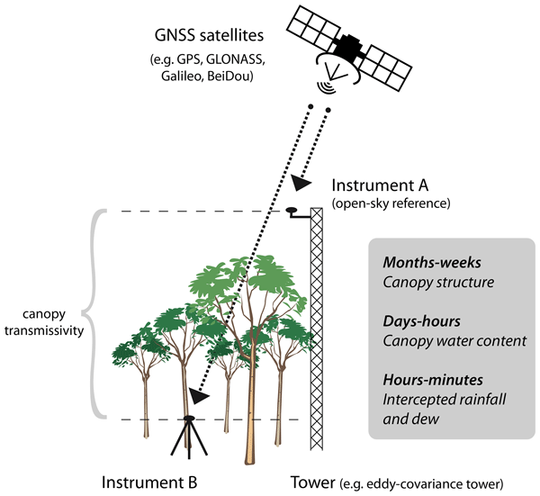
Conceptual scheme of GNSS-T VOD (credits: Humphrey & Frankenberg 2023)
Hence, for the first time VODnet enables the direct comparison of VOD from in situ sites across a diversity of biomes with collocated remote sensing data. This will foster algorithm development for estimation of biomass (dry & wet), water content / potential, interception & dew as well as structure and shape of canopies. This means VODnet creates real-world field laboratories on assessing the canopy information (states & dynamics) contained in VOD.
The Network
News
VODnet poster at Living Planet Symposium 2025 [June 2025]
Come chat with us on June 27th 13h00 during poster session A.02.04 area X5 zone F-J. Download the poster here.
Benjamin Lecart from University of Liège joins VODnet and installs a setup at ICOS BE-Vie [April 2025]
Benjamin Lecart is starting a PhD at the University of Liège under supervision of François Jonard on the topic: "Evaluation and prediction of forest fire risk through vegetation modeling and remote sensing".
Assisted by Timothée Stassin from GFZ, he installed a GNSS-T VOD setup (one ground and one reference antenna) at the at the ICOS site in Vielsalm (Belgium). Feel free to get in touch with him: benjamin.lecart@uliege.be.
Victoria starts a PhD at GFZ [April 2025]
Victoria Stanley is starting a PhD at GFZ under supervision of Martin Herold, Benjamin Brede and Timothée Stassin on the topic: "Integration of GNSS-T VOD in Multi-scale Forest Structure Monitoring". Feel free to get in touch with her: victoria.stanley@gfz.de.
Instrumentation
Across the network, a range of multi-frequency (L1/L2/L5), multi-constellation (GPS, GLONASS, Galileo, Beidou) GNSS receiver chips are in use. They range from low-cost (ublox ZED-F9P) to survey-grade (Septentrio mosaic-X5). Typically, survey-grade antennas are used.
Processing
Based on the GNSSVOD python toolkit (Humphrey 2025), a common data pipeline for the various partners' setups will be developed, incl. readers accounting for divers receiver hardware.
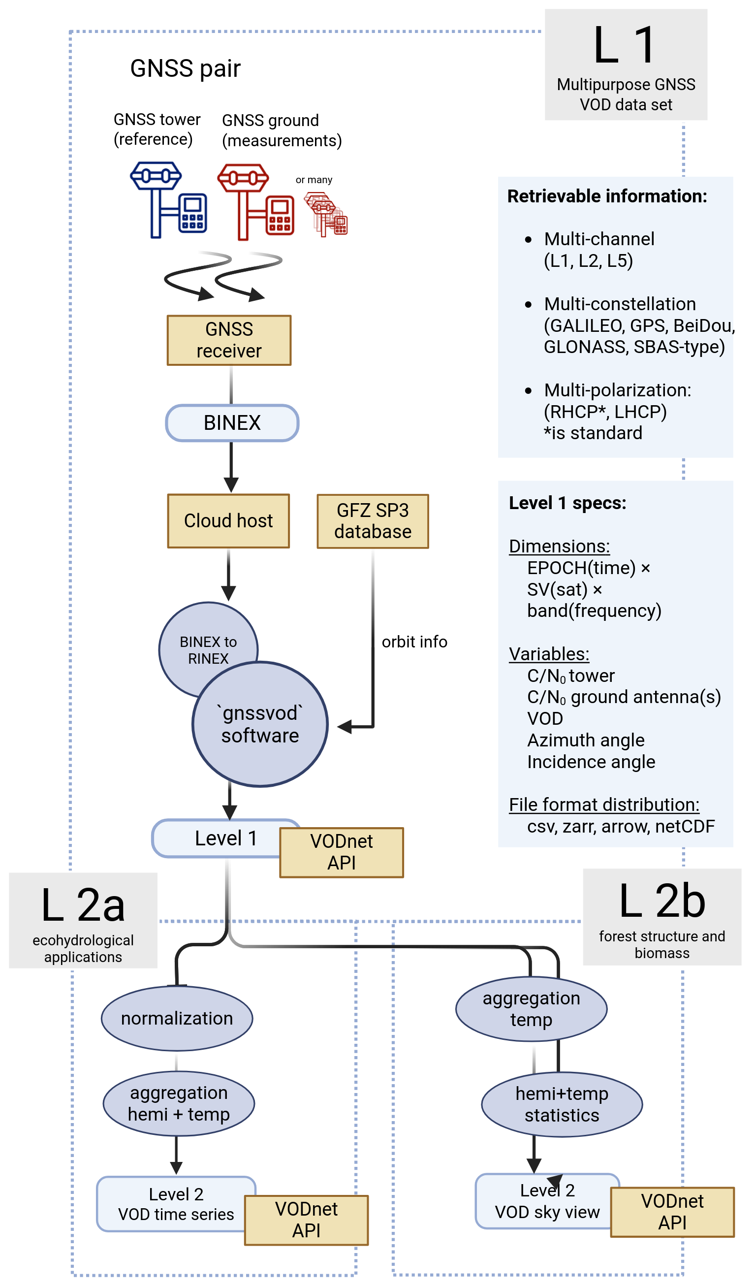
VODnet data processing flowchart
Network Partners
Objectives
- Quantify uncertainties inherent in GNSS-T observations
- Understand diurnal variation in leaf & stem water status, water potential, plus estimation of live fuel moisture content
- Characterise forest structure, e.g. canopy gap fraction, in dependence of forest type
- Understand interaction of microwaves with vegetation
- Calibration/Validation of satellite-based VOD to improve global soil moisture, water status and biomass retrievals
Partner Institutions
Recommended Reads
Feldman, A. F. (2024). Emerging Methods to Validate Remotely Sensed Vegetation Water Content. Geophysical Research Letters, 51(14), e2024GL110505. https://doi.org/10.1029/2024GL110505
Jagdhuber, T., Schmidt, A. S., Fluhrer, A., Chaparro, D., Jonard, F., Piles, M., ... & Kunstmann, H. (2025). Estimation of Forest Water Potential from Ground-Based L-band Radiometry. IEEE Journal of Selected Topics in Applied Earth Observations and Remote Sensing. https://doi.org/10.1109/JSTARS.2025.3533567
Hellwig, F. M., Jagdhuber, T., Jonard, F., Fluhrer, A., Schellenberg, K., Zehner, M., ... & Kunstmann, H. (2025). Assessing C-band SAR-based VOD in forest ecosystems using physical scattering models (No. EGU25-12323). Copernicus Meetings.
Humphrey, V., & Frankenberg, C. (2023). Continuous ground monitoring of vegetation optical depth and water content with GPS signals. Biogeosciences, 20(9), 1789–1811. https://doi.org/10.5194/bg-20-1789-2023
Humphrey, V. (2025): GNSSVOD toolkit. https://github.com/vincenthumphrey/gnssvod
Schellenberg, K., Jagdhuber, T., Chaparro, D., Binks, O., Hellwig, F., Dubois, C., ... & Schmullius, C. (2024, July). Estimating canopy interception water storage with GNSS-transmissometry. In IGARSS 2024-2024 IEEE International Geoscience and Remote Sensing Symposium (pp. 4507-4510). IEEE.
Gallery
Guyaflux (GF) - Ground antenna
Vielsalm (BE) - Ground antenna
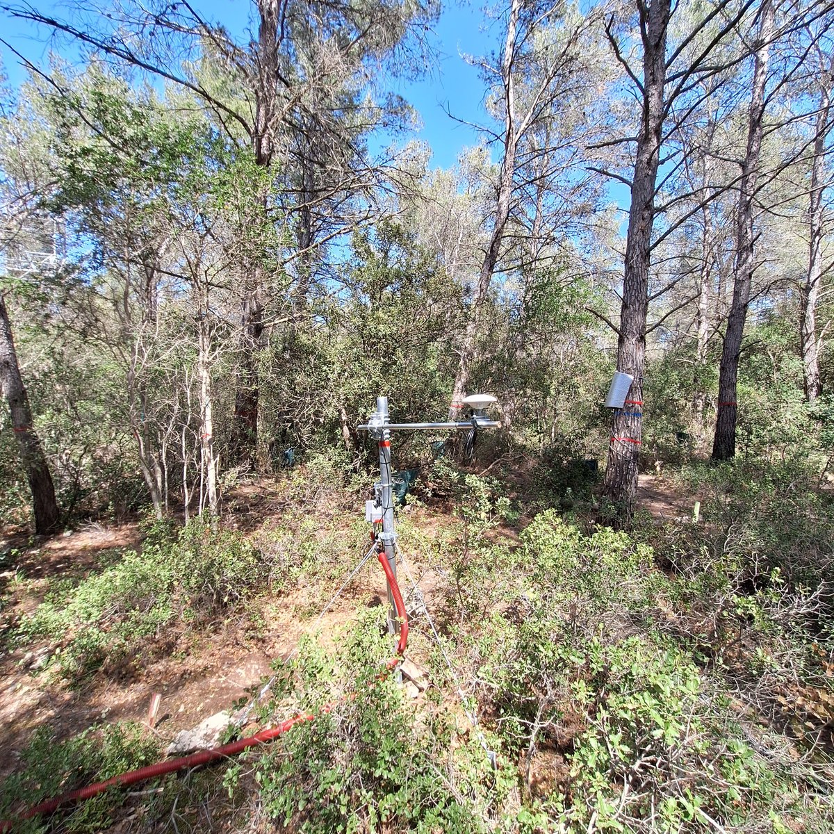
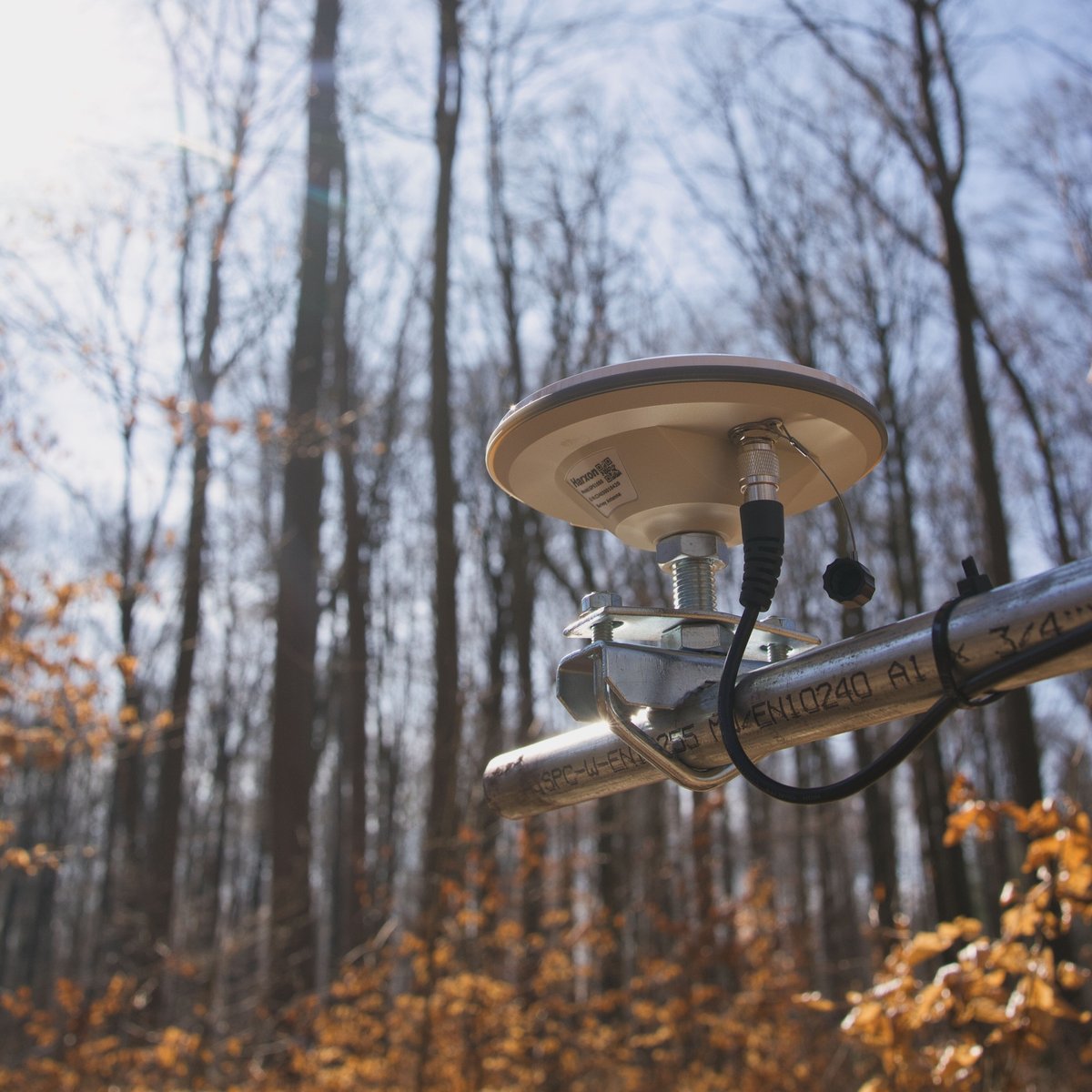
Font-Blanche (FR) - Ground antenna
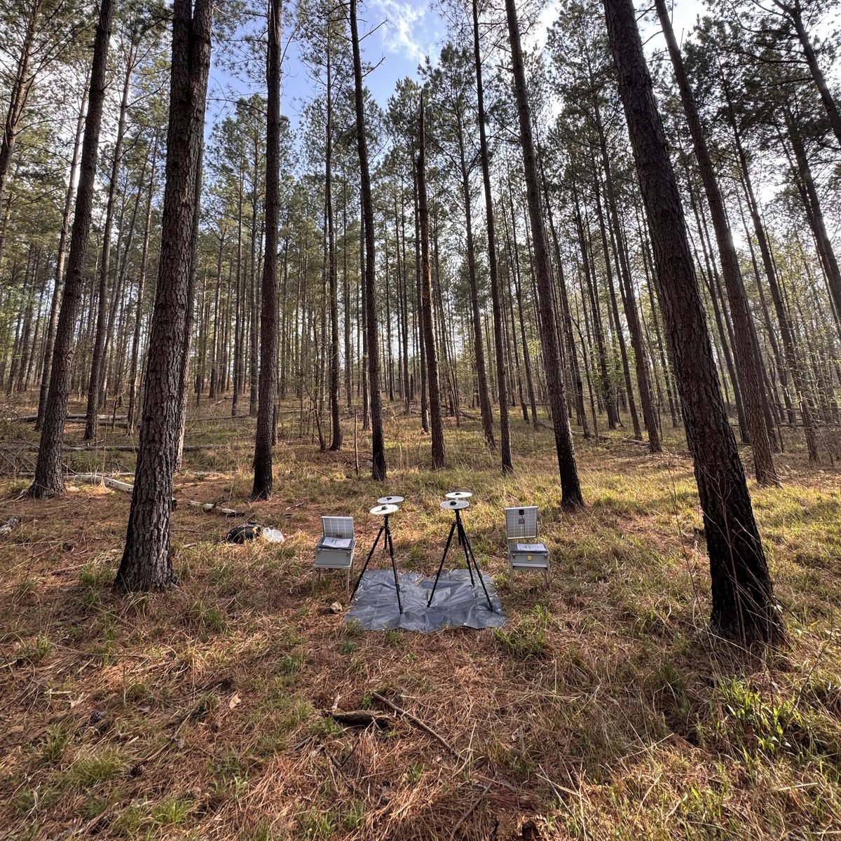
Whitehall forest (USA) - Ground antenna
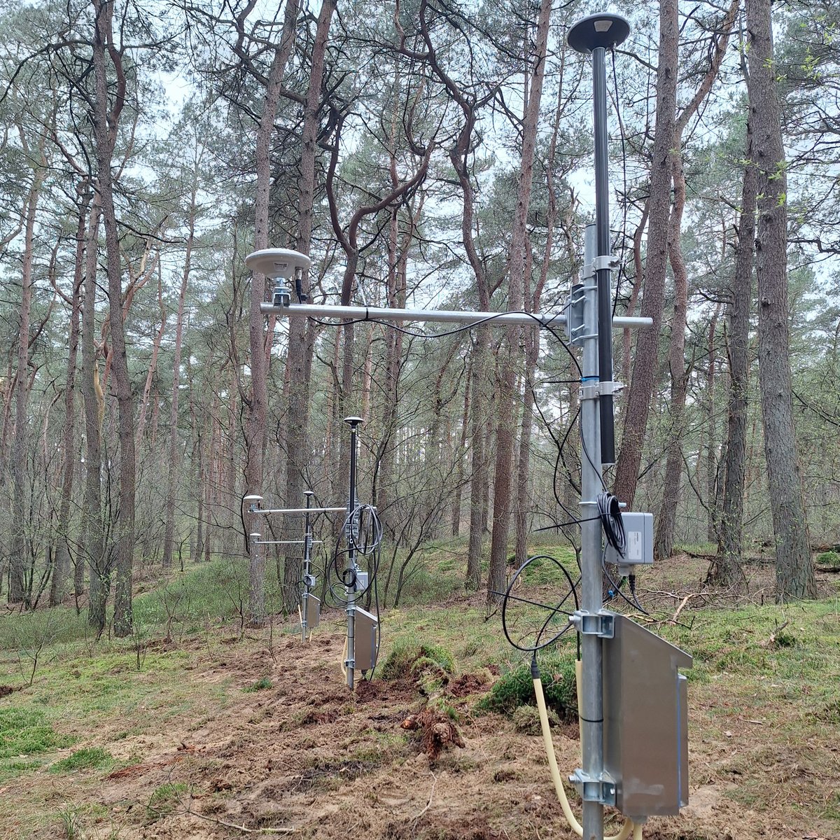
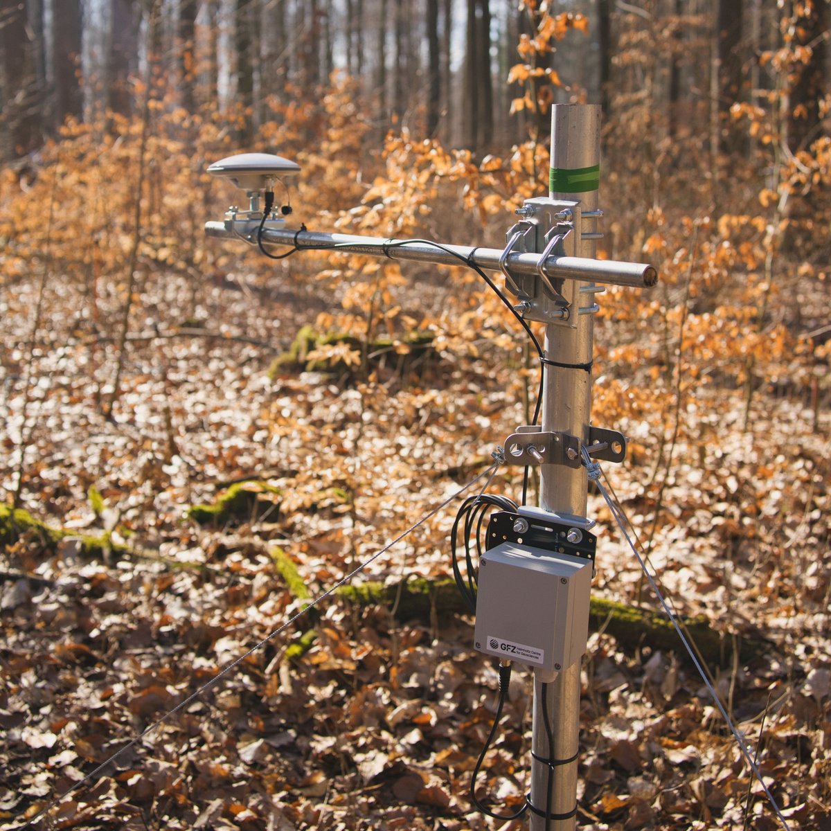
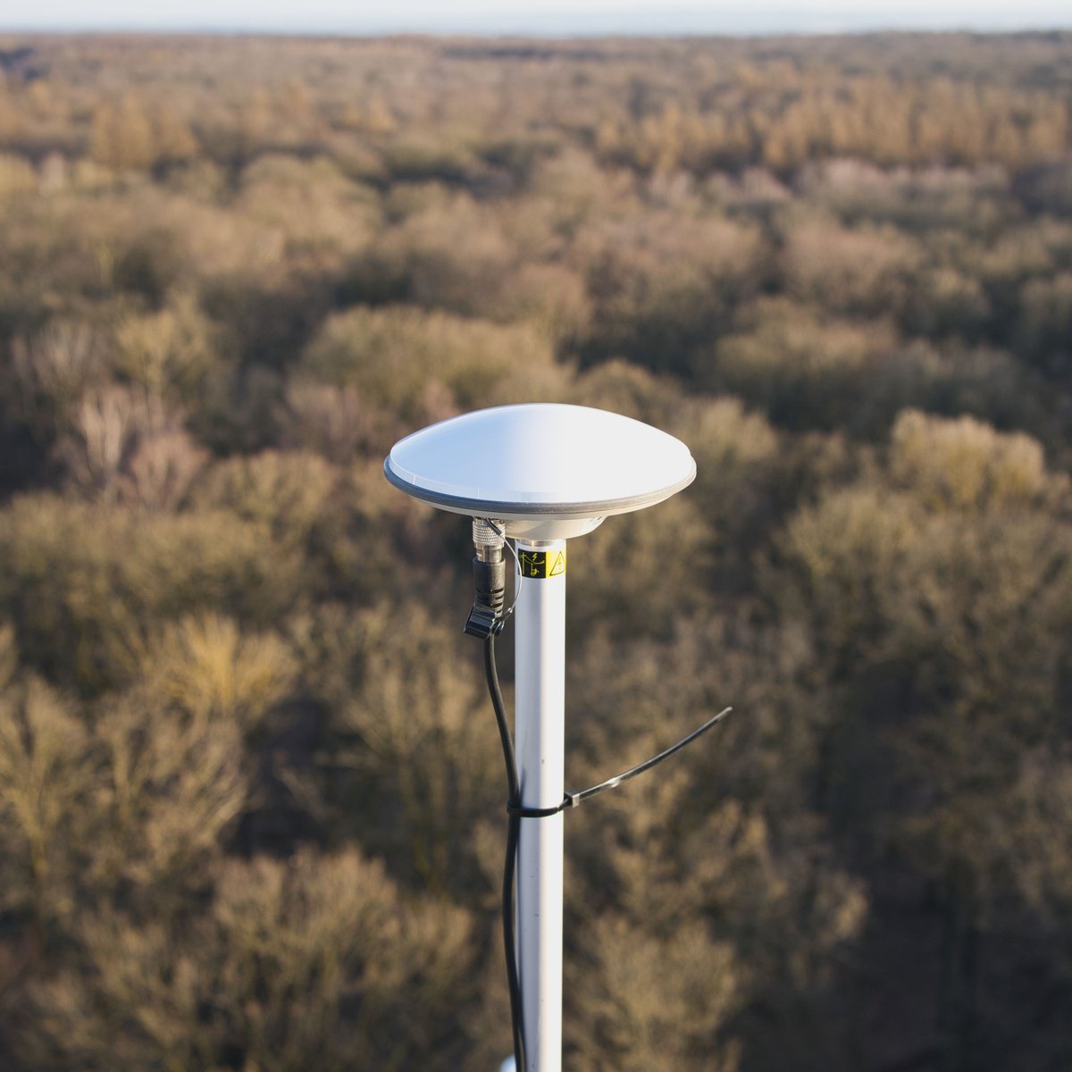
Loobos (NL) - Ground antenna
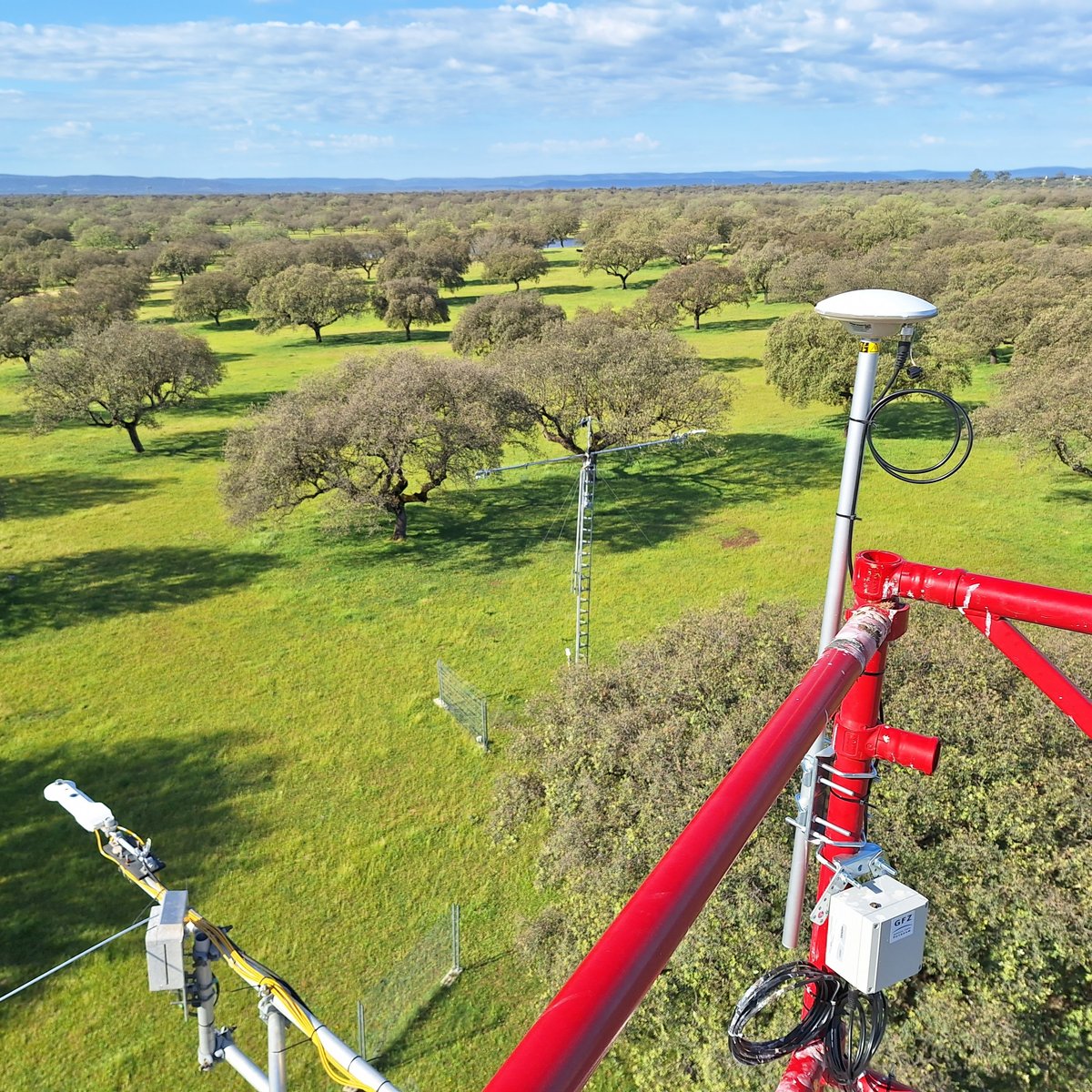
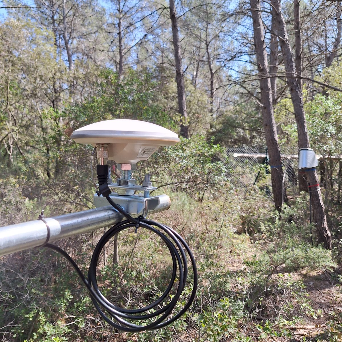
Las Majadas de Tiétar (ES) - Reference antenna
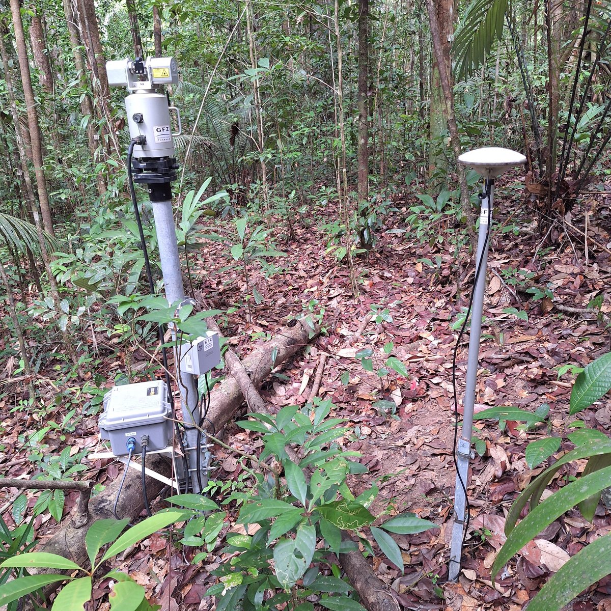
Guyaflux (GF) - Ground antenna
Loobos (NL) - Reference antenna
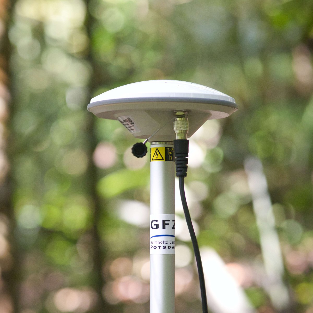
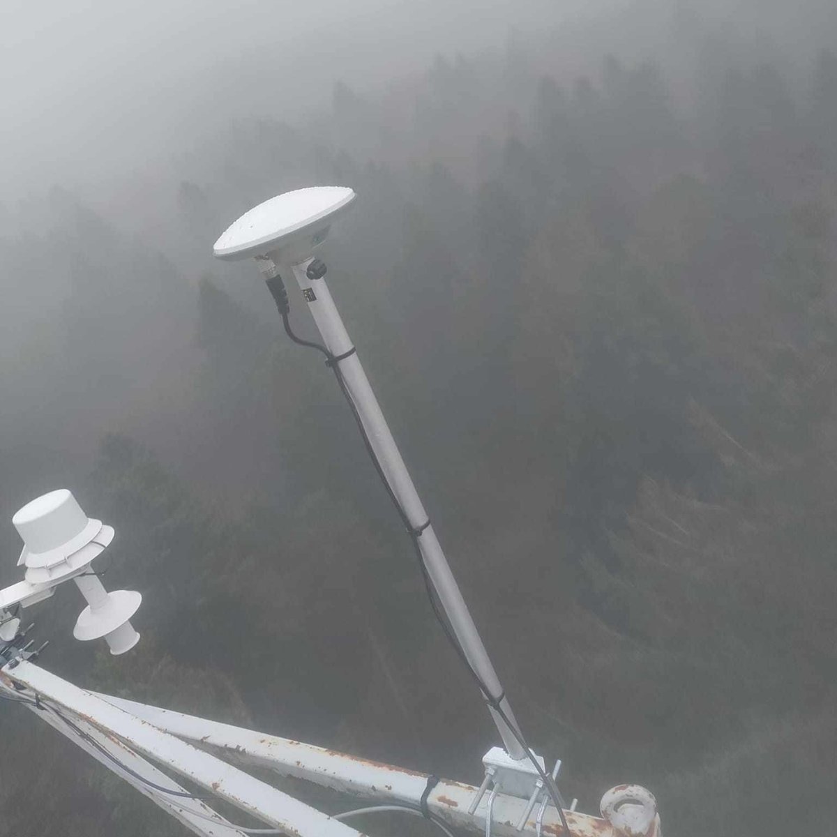
Hohes Holz (DE) - Ground antenna
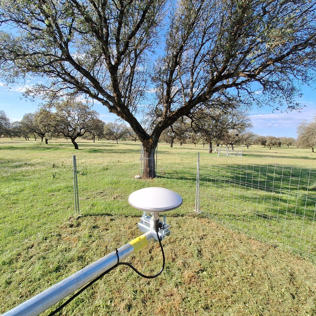
Las Majadas de Tiétar (ES) - Ground antenna
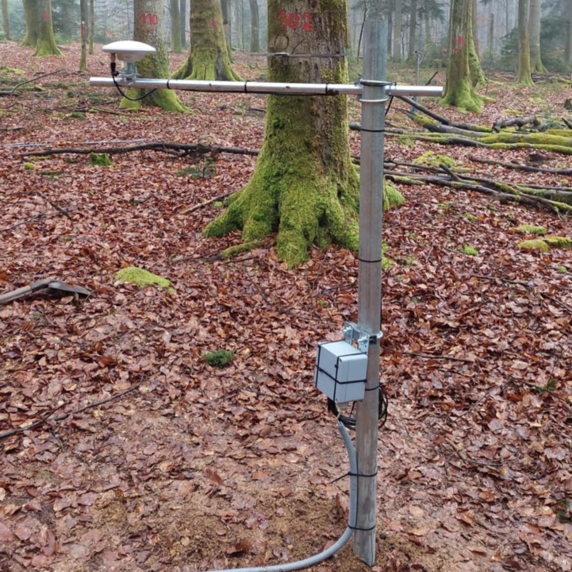
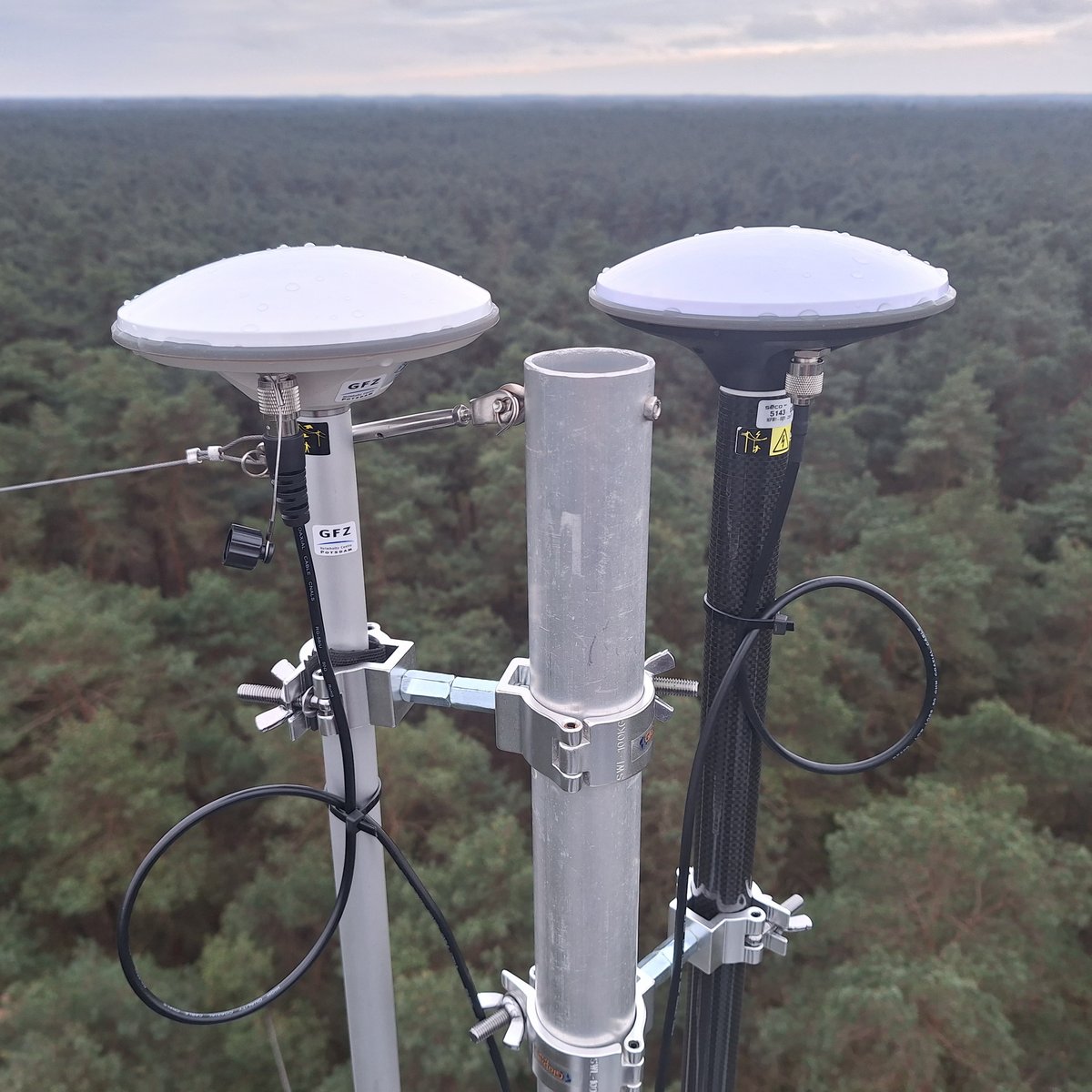
Vielsalm (BE) - Reference antenna
Font-Blanche (FR) - Ground antenna
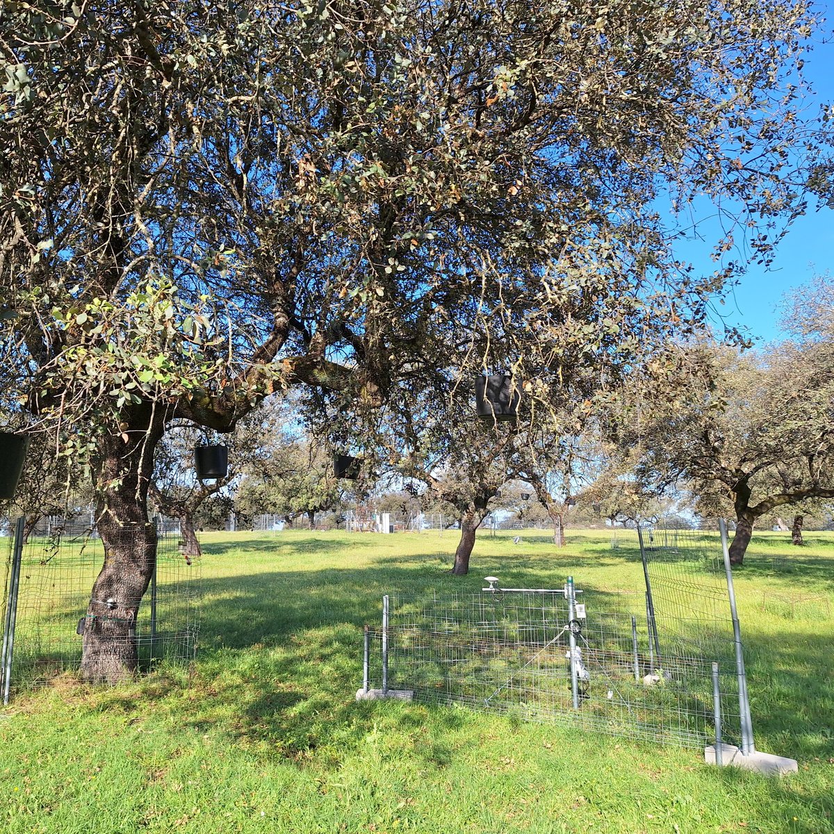
Las Majadas de Tiétar (ES) - Ground antenna
Hohes Holz (DE) - Ground antenna
Hohes Holz (DE) - Reference antenna